April 23 2012//
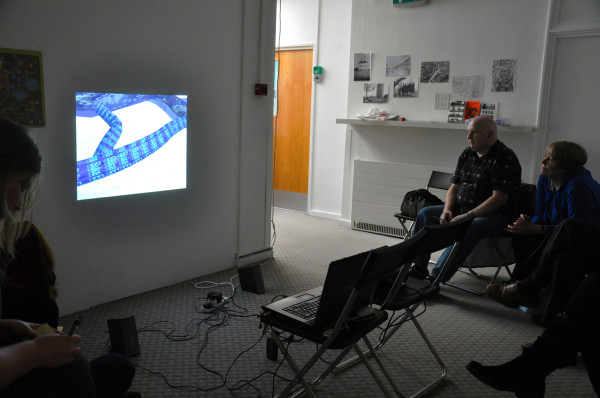
On Saturday 21st April I had the pleasure of working with London-based artists Constantine Gras, Natalie Marr, Alistair Ashe and Emily Ballard who kindly arranged the screening of my film Mapping London’s Subterranean Rivers at Laytmer Projects, 154 Freston Road, London W10.
The screening was followed by a short talk discussing how I made the film including varied research into the Subterranean rivers over a 6 month period, ranging from books, maps and walks across the urban landscape.
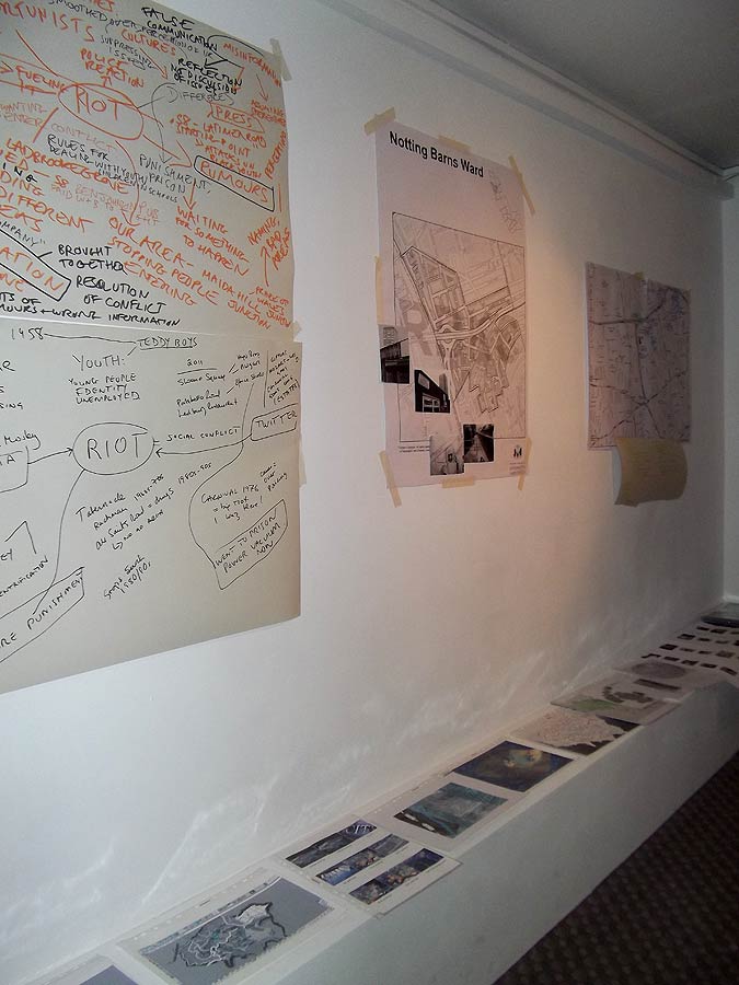
The screening formed week 6 of Latymer’s fascinating 7 week Mapping Project inviting members of the local community to contribute personal and historical accounts of local history whilst learning about open source mapping techniques. Varied and (sometimes infamous) local histories were recalled, particularly by Constantine, including the Notting Hill race riots of 1958.
Another local resident, Alan presented incredibly detailed drawings – plans of the area showing housing transformation over decades of change. He also had equally detailed knowledge of previous slum accommodation and areas which have since been cleared for social housing or much more upmarket property/gentrification.
Interestingly; I also learned that the lost subterranean river Counters Creek originated at a nearby source just south of St Quintin Avenue
[Counter’s Creek (or Chelsea Creek is a largely subterranean stream that arises in Kensal Green, west London and flows south into the River Thames on the Tideway at Sands End, Chelsea. Two small tributaries that rise just west of Ladbroke Grove enter the stream close to Latimer Road just south of St Quintin Avenue.] Wikipedia
A key discussion point was how maps simultaneously reveal and hide information depending on the intention of the map maker/ cartographer; that maps are not purely factual records as such but graphical representations of carefully selected data, created for many different reasons that may be socio-politically or economically motivated.

The positive thing about these thoughtful sound cards is that they provided great feedback and critique for the work from those who had viewed the film previously online, and from others who had not. Providing informal crit-style feedback that I had not experienced for some time
I really appreciated the perceptive feedback that this short exercise generated; each person touched upon different intentions within the work, some of which I had almost actually forgotten about, and some completely new and illuminating interpretations.
Including ideas such as: The ”organic city’, waterways as urban arteries, ‘violent’ river speeds and the potentially destructive potential of water in both natural and built environments. Alastair even came up with a full musical violin score for the work including the opening soundtrack for Hitchcock’s Psycho by Bernard Herrmann!
Flows _ could be something other than water
WORDS- flows of information
River as a live body
Sense of time
Speed
Construction/destruction
Chaos of change over time
Communities
Flows/barriers between communities
Tree
Root Breeze
Memory motion
Archive fragment
Fast running, violent
LANGUAGE – defines territory as much as maps, empirical data –
Links: Open source mapping techniques and links covered during the session
Bill Rankin’s maps at radicalcartography.net reveal myriad aspects of the contemporary world
Click here to view blog entry for Session 6: Digital and Open Source Mapping