November 04 2011//
I’ve uploaded here a composite map created as research for my video Mapping London’s Subterranean Rivers 2010 and described briefly how it was made and used within the work.
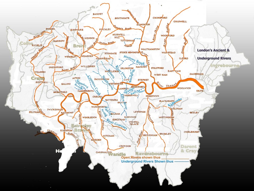
(Above) Composite map based upon ‘Tributaries of the Thames from Kingston to Erith‘ from Nicholas Barton’s well known book entitled The Lost Rivers of London.
The underground rivers are marked in blue and the ancient or lost overground waterways appear in orange.
The various rivers on the composite map formed a template to (fairly) accurately place the underground rivers onto the 3d map within the animation program to create the video
Mapping London’s Subterranean Rivers
I digitally overlaid the map ‘Tributaries of the Thames from Kingston to Erith‘ onto another more contemporary map of Greater London that shows the borough boundaries and depicts the distinctive outline shape of Greater London.
In doing so, I noticed that the shape of London resembled an island cut adrift. This is not intended to be a super accurate map, more a poetic interpretation.
This island-like form inspired the 3d model elevation of London in the video, depicting London as cutout sculptural form suspended in empty virtual black space.
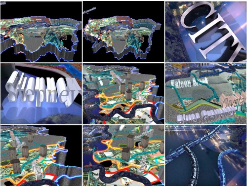
Video stills from Mapping London’s Subterranean Rivers