Title Mapping London’s Subterranean Rivers 2010 – 12
Date 2010 – 2012
Duration00:04:57
Audio Yes
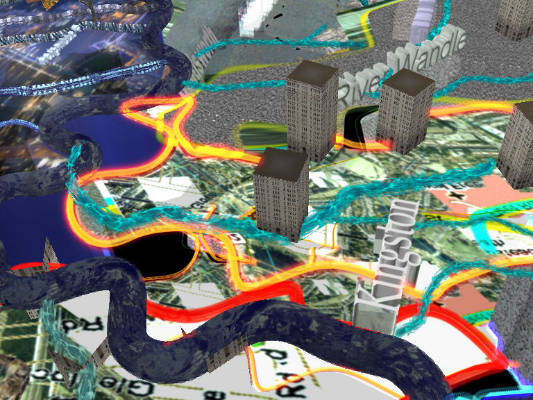
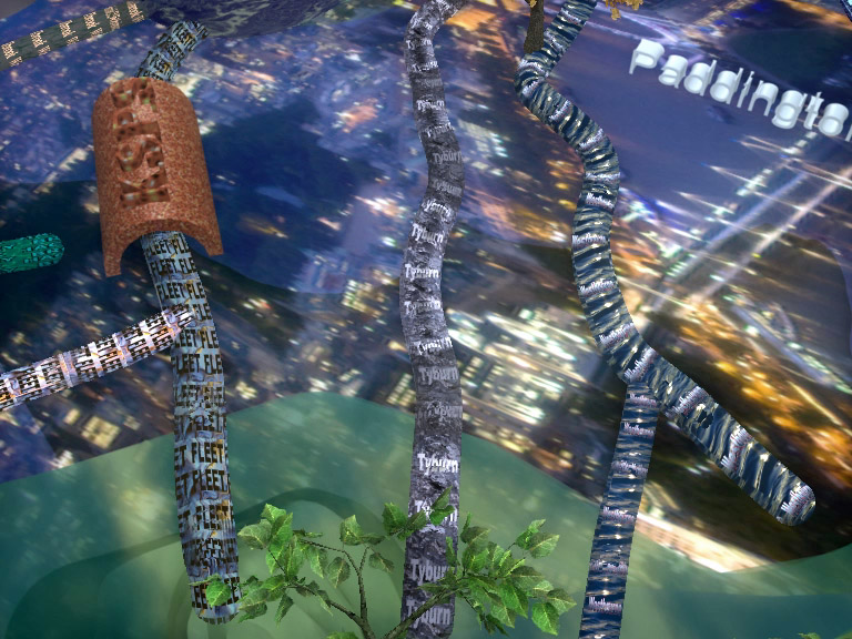
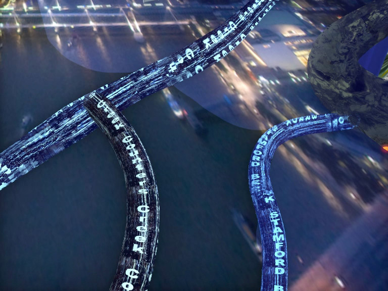
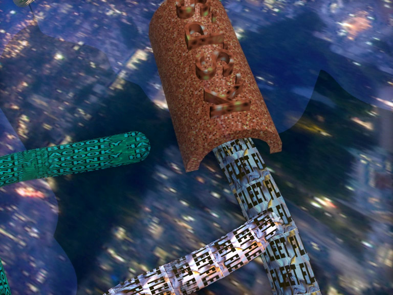
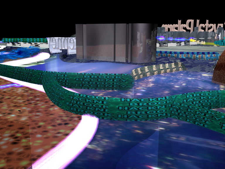
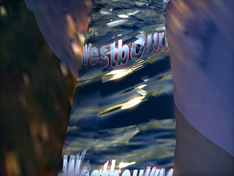
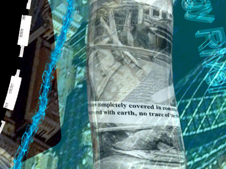
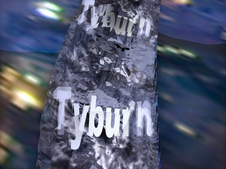
The film allows the viewer to fly through a 3D map of London, revealing the sites of ancient and subterranean rivers based on research using old maps and books such as Nigel Barton’s ‘The Lost rivers of London’. Evoking existing and long disappeared waterways that bubble unseen beneath our feet. Including; The Fleet, Tyburn, Westbourne, Quaggy, Counters Creek, Neckinger and more…..

Exhibition
3D modelling, motion dynamics, intense colour/texture and found visuals are used to visualise the city as an intricate organic system built upon labyrinthine liquid networks and underground channels: A hybrid view of the city where historic and ancient natural elements are fused together.
The film was originally made as a site-specific installation for a group exhibition Illumini 2010 held in the semi derelict basement under Shoreditch Town Hall, London.
This rustic space has no direct electricity supply. Darkened side rooms which were once living quarters reveal remnants and ephemera from the past including layers of faded peeling Victorian-period patterned wallpaper, iron stoves, and fireplaces. The room where the film was exhibited has no floor and contains a large exposed terracotta waterpipe running across entire length of the floor space. The film was projected silently and directly onto the exposed brickwork – vivid rivers brightly illuminated – oozing like channels of liquid light emerging from the near total darkness of the space.
The soundtrack was added later in 2012 and was inspired by a collaborative workshop at Latymer Project studios in North Kensington, London. Using appropriated and recycled eclectic sounds such as digitised music, iphone recordings of urban sounds and recycled media, and Internet clips. Audio credits: V.A Fanthorpe, BBC News, The London Sound Survey, K.MacLeod. Thanks to Constantine Gras, Natalie Marr and Latymer Mapping Project.
Background notes – The Rivers
The source of the once-great ancient river Fleet can be found emerging from the ground at two nearby sites on Hampstead heath – Kenwood House in the east and the Vale of Health in the west. The western branch runs briefly over ground across Hampstead Heath, on through Hampstead ponds, then permanently disappears beneath the rail tracks at Hampstead Heath station. These two (now) streams converge near Camden town however, in 1826 the Fleet was an important London waterway and flowed above ground reaching 65 feet wide at flood at this point. Today the Fleet pathway underground forms part of London’s hidden Victorian sewerage system.
The Tyburn also once arose from 2 tributaries in Hampstead, splitting into 3 branches at St James Park. Today it is entirely subterranean and exists as a mere stream running under Buckingham Palace andtrickling through labyrinthine Victorian arched brick tunnels. Also, in the 1960’s an overgrown and derelict section of the river Quaggy, a tributary of the River Ravensbourne in Lewisham- South east London, was completely encased in an underground concrete conduit, making way for the continually changing and developing urban environment.
Click here to find out more about the making and research behind Mapping London’s Subterranean Rivers on the blog.
Related blog posts:
London Map and Subterranean Rivers
‘Mapping London’s Subterranean Rivers’ Wire-Frame Screen Grabs